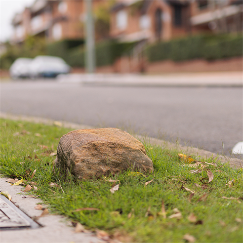
13. Stone alignment marker

The marker is 300mm square with a domed top and is composed of quartz sandstone.
It is one of about 20 stone markers known within the Ryde local government area.
The markers were used to establish the alignments of major roads and as surveyors’ reference points for subdivision boundaries. It was probably installed when the Herring Estate, including the homestead Bracondale, was surveyed for sale in 1919.
Location
Corner of Ashburn Place and Wharf Road, Gladesville 2111 View Map
-33.83641307, 151.1253293
Corner of Ashburn Place and Wharf Road ,
Gladesville 2111
Corner of Ashburn Place and Wharf Road ,
Gladesville 2111
13. Stone alignment marker